Elevate your mapping results with this array of top-tier sensors, including the RGB 61 MP full-frame camera and their advanced LIDAR sensor, each ensuring unparalleled resolution and accuracy in aerial mapping.  These payloads are specific to the Wingtra drones. 

RGB61

Powered by the Sony A7R Mark IV, RGB61 guarantees maximum coverage, superior accuracy and a lighter data load, while offering in-app light settings control.

LIDAR

Wingtra LIDAR sets new standards in aerial mapping. Experience unmatched efficiency with user-friendliness and reliability to win more bids and improve construction project designs.

MICASENSE REDEDGE-P

The MicaSense RedEdge Panchromatic (RE-P) is our premium multispectral camera, which combines a panchromatic sensor with five narrow bands to produce high-resolution multispectral and RGB from one flight for advanced analytics.

a6100 Oblique

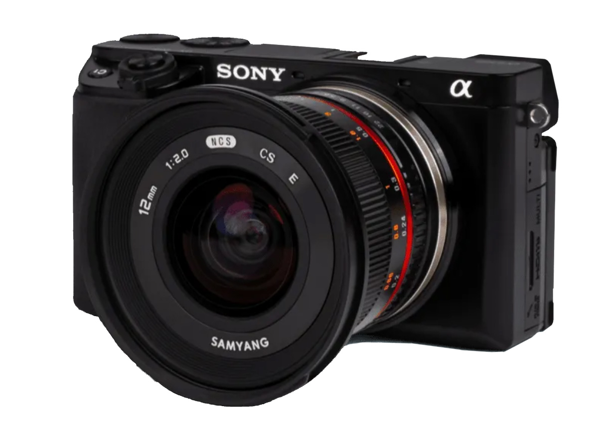
Optimized to map vertical structures, this 3D mapping camera allows you to generate high-resolution 3D meshes with centimeter level absolute accuracy. Wingtra One’s oblique solution with the fast-triggering ɑ6100 camera and wide-angle 12 mm optics in a tilted mount makes for the optimal solution to map 3D structures, from single buildings to full-scale cities. The WingtraOne oblique solution combines the high-end Sony a6100 camera with a wide-angle 12mm lens in a tilted mount and low-oblique configuration. Combined with WingtraOne’s unprecedented PPK geotagging accuracy, VTOL capability, and optimized oblique flight planning in WingtraPilot, you can create life-like digital twins with high absolute accuracy in a short amount of time.

The oblique payload is configured in a way that you only have to fly your area once (no cross-grid planning needed). This boosts your field efficiency and allows you to map up to 180 ha (445 ac) * in a single flight.

RXRII 

For high accuracy surveys, Sony’s 42 MP full-frame sensor guarantees superior image resolution for a drone camera, while the low distortion lens ensures best reconstruction results. Get sharp and undistorted nadir images with high pixel density, resulting in a GSD of down to 0.7 cm / px and best-in-class absolute horizontal accuracy, down to 1 cm (0.4 in) without GCPs.Explore different map outputs from Wingtra’s RX1R II camera or download sample datasets to post-process them yourself.

Our team specializes in providing tailored solutions to help you determine the ideal payload for your drone. By analyzing your specific requirements and objectives, we offer expert advice on selecting the right equipment to fit your missions needs. We will guide you through the options, ensuring that your drone's payload maximizes efficiency and performance. 

CLICK HERE for more information