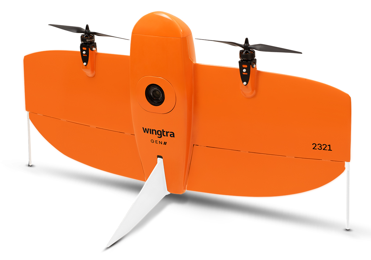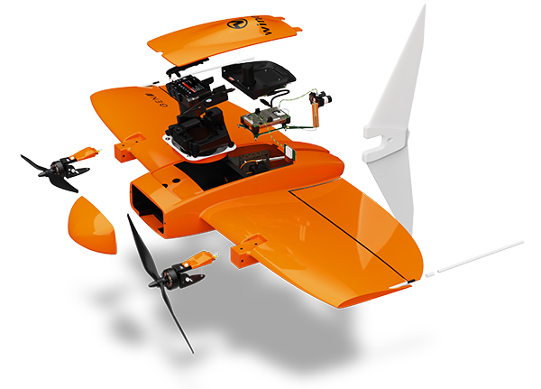

The WingtraOne GEN II is a fixed-wing vertical takeoff & landing drone designed specifically for long-distance / large-area surveying applications. Now BLUE UAS Certified and GSA Approved.
With the touch of a button, the UAV is in the air and automatically capturing surveying data. Capable of flight times up to 59 minutes, the WingtraOne is tailor-made to cover large distances with greater accuracy and efficiency.
Unlike other fixed-wing drones, the WingraOne takes off vertically, even on difficult terrain or challenging surroundings, making it the ideal solution for confined takeoff areas. The Wingtra Gen 2 offers both LiDAR and Photogammetry payload options to suit your unique solution requirements.


Wingtra's camera options can assist with mapping applications across industries, such as:
Construction: Wingtra equipment can help you stay on project schedule and within budget while allowing you to map large or unreachable areas.
Surveying: Wingtra products enable surveyors and GIS professionals to survey difficult-to-reach areas and obtain high-resolution aerial maps safely, cost-effectively and quickly.
Agriculture: Gain valuable insights into plant health, assess damage after significant weather events and optimize your yield productivity with Wingtra products.
Environmental monitoring: Wingtra offers a high-quality, affordable aerial mapping solution to help conservationists and researchers monitor and track wildlife and land changes.
Max Flight Time: 59 min
Max Wind Resistance:
Max sustained winds: 12 m/s(27 mph)
Max wind gusts: 18 m/s (40 mph)
Max sustained wind on the ground: 8/ms (19 mph)
Photogrammetry
Maximum expected coverage in one flight at 120 m (400 ft) altitude above take-off point*
RGB61
310 ha (760 ac)
1.9 cm (0.74 in)/px GSD
LIDAR
Effective point density in deliverable at 90 m AGL with 50% side overlap
Hard surface: ~110 pts/m2 (single return)
Low vegetation: up to 220 pts/m2 (dual return)
High vegetation: up to 330 pts/m2 (triple return)
