
All Phoenix LiDAR solutions are integrated to meet your individual criteria, and can be enhanced with a variety of accessories. We offer imaging options for hi-res photo, thermal, hyperspectral sensing and more, along with GNSS reference stations, a ground control laptop package, and a selection of UAVs and other accessories. We test every system to ensure that your system is properly calibrated and ready to fly. These payloads are not specific to any brand.
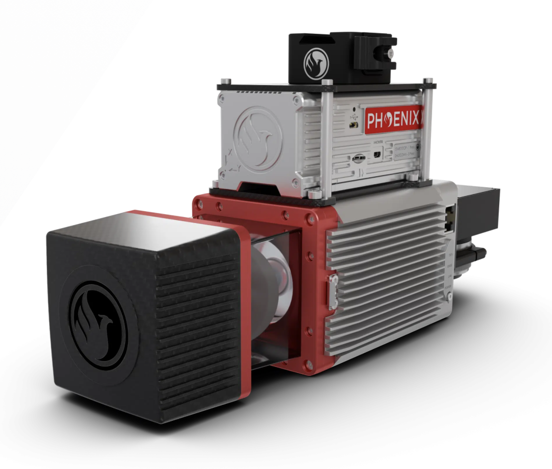
MINI RANGER-3 LITE
The MiniRANGER-3 LITE is designed to provide survey-grade LiDAR data and imagery (optional) on an ultra-lightweight platform. Packed with options, the MiniRANGER-3 LITE leverages Phoenix’s years of experience and industry-leading LiDARMill software platform to provide a seamless user experience.
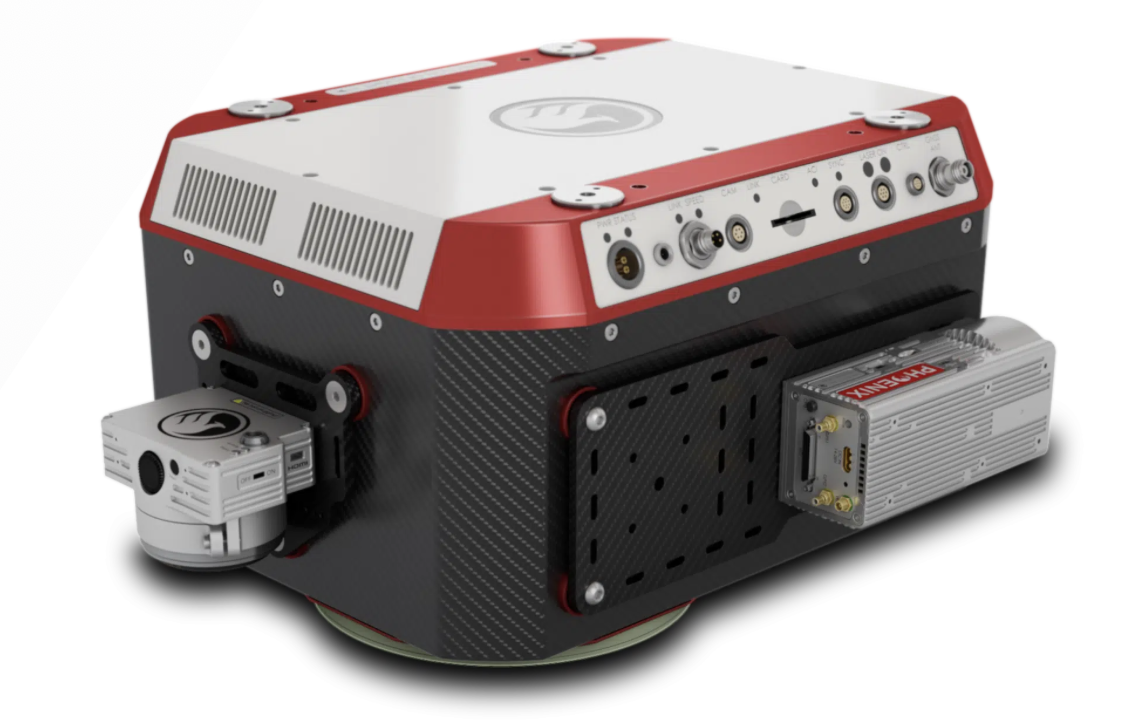
HYDRORANGER
The HydroRANGER is an evolution of mapping technology. This Airborne Topo-Bathymetric (ATB) system provides dual purpose topographic and bathymetric measurements for full scene mapping of shoreline systems. Utilizing a visible green spectrum laser with an elliptical scan pattern and measurement rates up to 200 kHz, the HydroRANGER provides a combination of high spatial resolution and spatial accuracy.
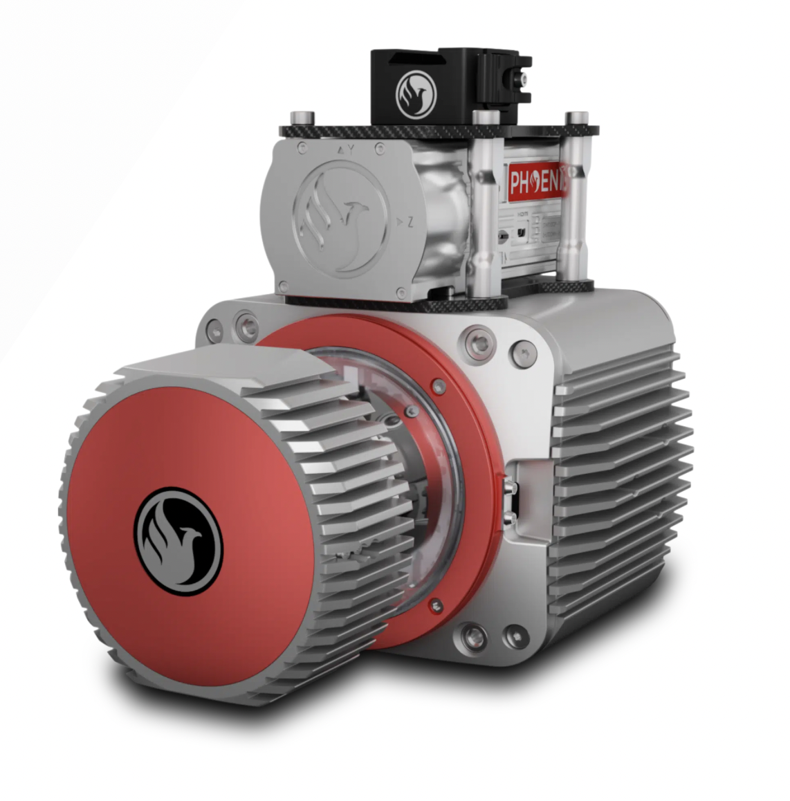
RANGER LR LITE
The RANGER-LR LITE is the new lighter, long-range system configuration of our RANGER Series. Designed for the most demanding mapping applications, the RANGER-LR LITE is the ultimate combination of high density, long-range LiDAR with a powerful 1,550 nm laser and up to 15 returns that penetrate dense vegetation at high speeds and altitudes in large scan regions.This system is available in UAV, manned aircraft, mobile, VTOL, and backpack configurations.
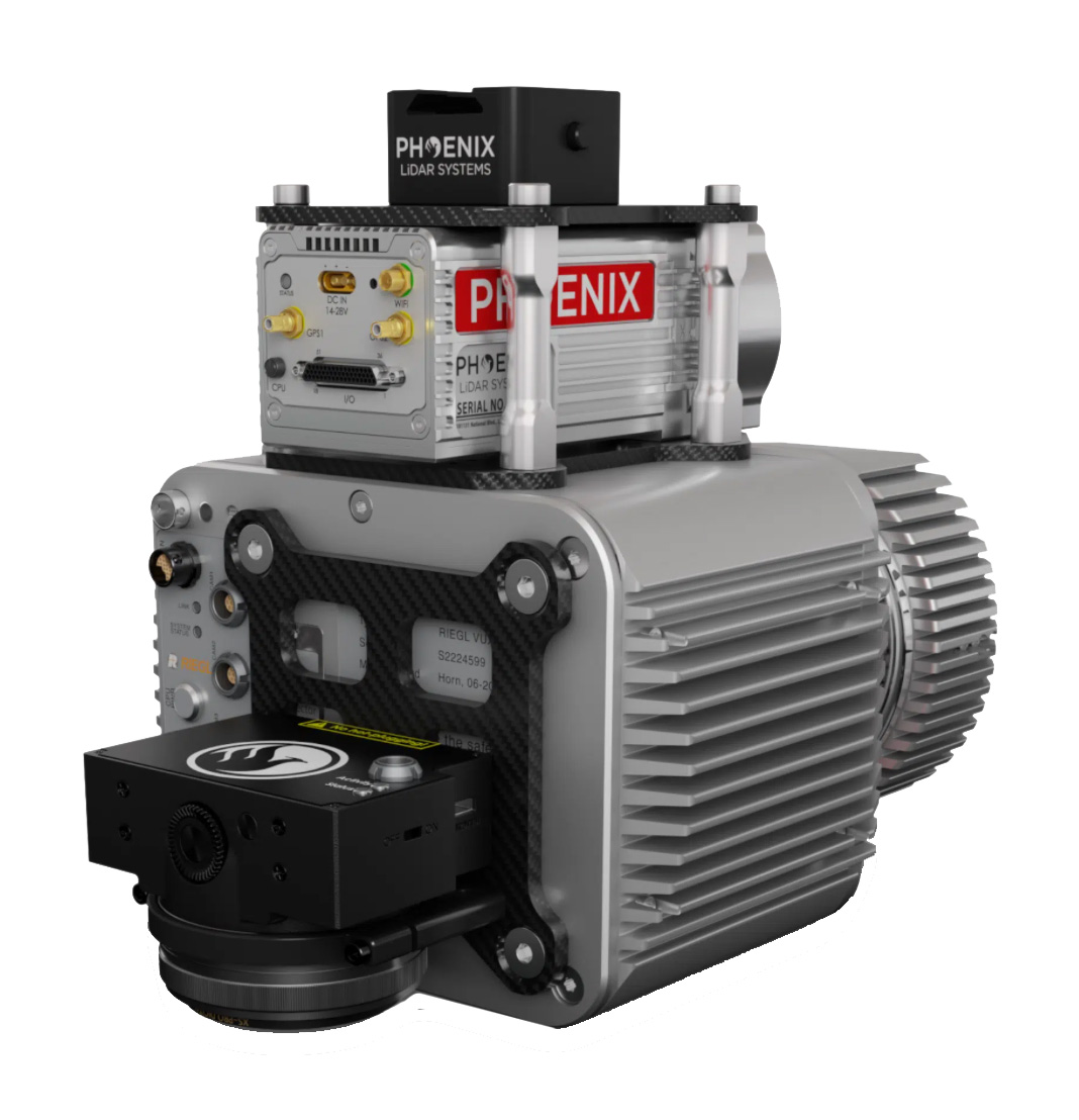
RANGER UAV-LITE
The RANGER-UAV LITE adds high pulse rate measurement capability to a scanner that excels at measurement accuracy. Ideal for completing UAS missions with the highest degree of data quality, this member of the RANGER lineup is vehicle-flexible and is an excellent choice to suit many roles. High-density UAS missions, detailed mobile mapping projects, and even low-altitude piloted aircraft surveys can all be conducted. This system is available in UAV, VTOL, helicopter, vehicle, and backpack configurations, depending on your needs.
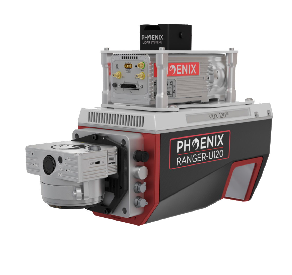
RANGER U120
The RANGER-ULTRA is an airborne laser scanner with an impressive combination of weight, range, accuracy and pulse rate. It is equipped with a unique forward and rear looking FOV designed to minimize laser shadowing and provide geometry on complex vertical structures on a single pass. With its wide field of view of 100 degrees and an extremely fast pulse repetition rate of up to 1800 kHz, the RANGER-ULTRA is perfectly suited for high point density corridor mapping applications such as power line, railway track and pipeline inspection.
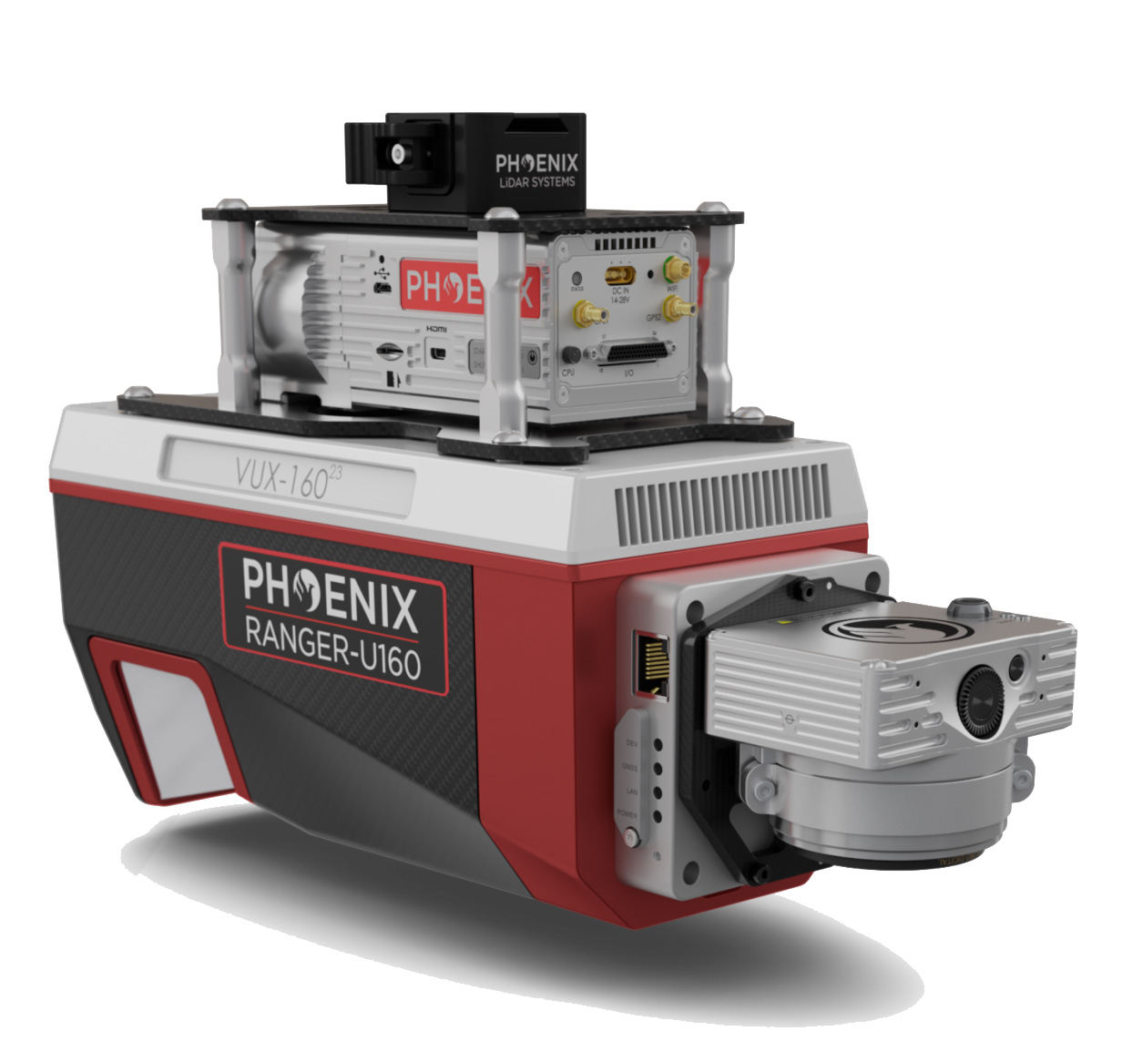
RANGER U160
The RANGER-ULTRA is an airborne laser scanner with an impressive combination of weight, range, accuracy and pulse rate. It is equipped with a unique forward and rear looking FOV designed to minimize laser shadowing and provide geometry on complex vertical structures on a single pass. With its wide field of view of 100 degrees and an extremely fast pulse repetition rate of up to 1800 kHz, the RANGER-ULTRA is perfectly suited for high point density corridor mapping applications such as power line, railway track and pipeline inspection.
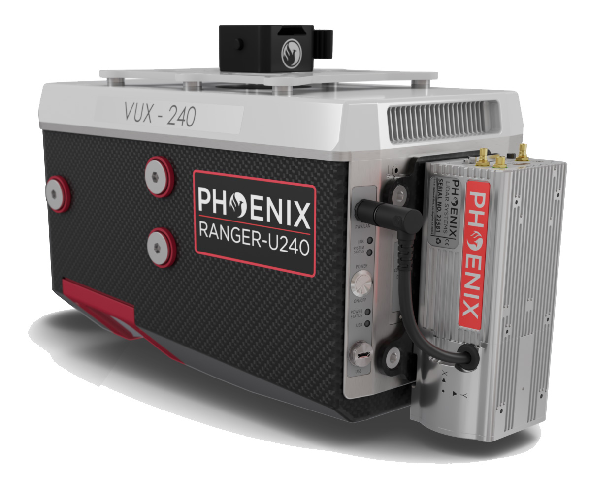
RANGER U240
The RANGER-ULTRA is an airborne laser scanner with an impressive combination of weight, range, accuracy and pulse rate. It is equipped with a unique forward and rear looking FOV designed to minimize laser shadowing and provide geometry on complex vertical structures on a single pass. With its wide field of view of 100 degrees and an extremely fast pulse repetition rate of up to 1800 kHz, the RANGER-ULTRA is perfectly suited for high point density corridor mapping applications such as power line, railway track and pipeline inspection.
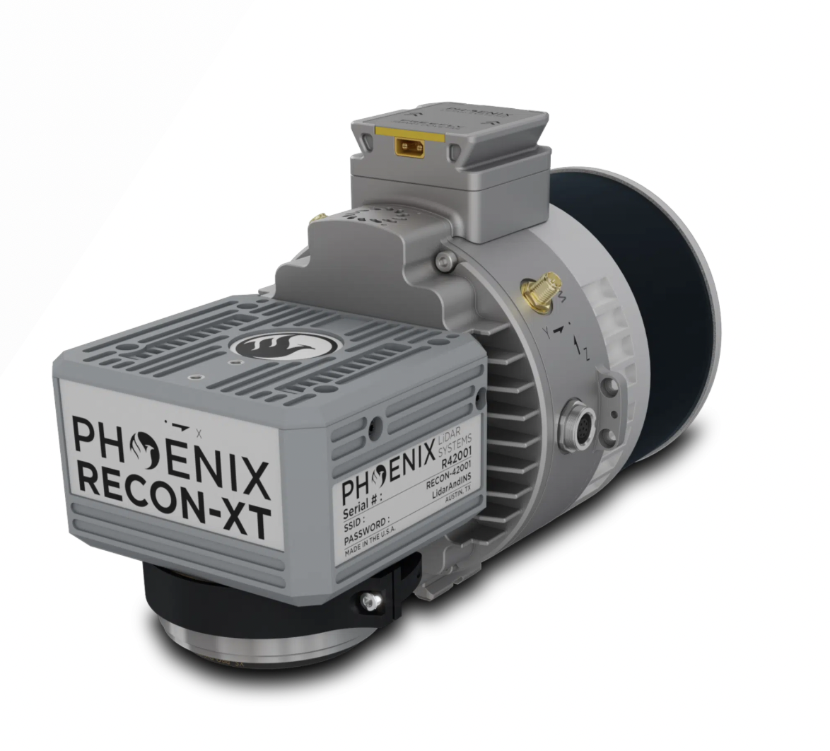
RECON-XT
The RECON-XT is the ultimate value, entry-level system for the DJI Matrice 350. A strong fit for smaller scan areas and teams on a budget. The RECON-XT is designed to grow and adapt with your business. Flexibility in mounting options is a key benefit of this Phoenix system. The RECON-XT is designed to fly on UAVs, and can also be deployed for mobile mapping applications.
Available in two variants for the two most popular mid-size drones.
Recon-XT – DJI M300 and M350
Recon-XT-A – Freefly Astro
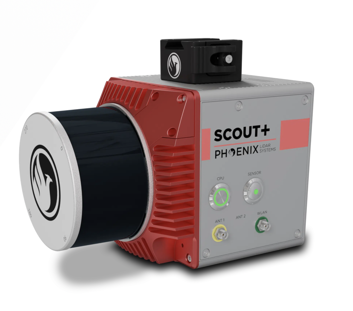
SCOUT M2X
The SCOUT-M2X is the ideal combination of performance, flexibility, and affordability. It brings a new level of precision and accuracy to the long trusted SCOUT lineup of multi-channel mapping scanners.
Long range, high pulse rate and triple return capability allow for UAV acquisitions of more data faster through vegetation. Dense survey data can be collected by nearly any method; UAV, Mobile, Backpack, and more. The SCOUT-M2X is also SLAM capable, taking you where others cannot.
Our team specializes in providing tailored solutions to help you determine the ideal payload for your drone. By analyzing your specific requirements and objectives, we offer expert advice on selecting the right equipment to fit your missions needs. We will guide you through the options, ensuring that your drone's payload maximizes efficiency and performance.
